No results were found for the filter!
 C2 - \"Schweinepest\"") DJI Mavic 3 Thermal (M3T) C2 - "Schweinepest"
DJI Mavic 3 Thermal (M3T) C2 - "Schweinepest" DJI Mavic 3 C2 Thermal (M3T) – kompakte und leistungsstarke Drohne zur Rettung von Rehkitzen und anderen Wildtieren. Paket Schweinepest - für längere Sucheinsätze im Rahmen der Auffindung von Wildschweinen. Die DJI Mavic 3 Enterprise...
Content 1 piece
€6,399.00 *
Hint!
 C2 - Rehkitz Wildtier Rettung - BASIC Setup") DJI Mavic 3 Thermal (M3T) C2 - Rehkitz...
DJI Mavic 3 Thermal (M3T) C2 - Rehkitz... DJI Mavic 3 C2 Thermal (M3T) – kompakte und leistungsstarke Drohne zur Rettung von Rehkitzen und anderen Wildtieren. Die DJI Mavic 3 Enterprise definiert Industriestandards für kleine kommerzielle Drohnen neu. Mit einem mechanischen...
Content 1 piece
€6,259.00 *
 DJI Terra Pro | unbefristete Lizenz für 1 Gerät
 Software von DJI für Kartierungen und Luftbildvermessungen. DJI Terra Pro ist eine Software-Lösung für Luftbildvermessungen und Kartierungen und richtet sich an Enterprise- und Businesskunden. Bei dieser Lizenz handelt es sich um eine...
Content 1 piece
€4,399.00 *
 Praxis Workshop Drohnen Vermessung - agisoft...
 Wir vermessen gemeinsam bei Ihnen vor Ort Schritt für Schritt ein Gelände oder Bauwerk mit der Drohne. Dabei lernen Sie direkt alle relevanten Schritte und können Hands-on Erfahrungen sammeln. Profitieren sie von unserem KnowHow bei der...
Content 1 piece
€1,999.00 *
 Praxis Workshop Drohnen Vermessung - PIX4D...
 Wir vermessen gemeinsam bei Ihnen vor Ort Schritt für Schritt ein Gelände oder Bauwerk mit der Drohne. Dabei lernen Sie direkt alle relevanten Schritte und können Hands-on Erfahrungen sammeln. Profitieren sie von unserem KnowHow bei der...
Content 1 piece
€1,999.00 *
 Praxis Workshop LIDAR Vermessung - DJI Zenmuse...
 Wir vermessen gemeinsam bei Ihnen vor Ort Schritt für Schritt ein Gelände mit dem DJI Zenmuse L1 LIDAR Laserscanner an der Matrice 300 . Dabei lernen Sie direkt alle relevanten Schritte und können Hands On Erfahrungen sammeln....
Content 1 piece
€1,899.00 *
 Praxis Workshop Drohnen Vermessung - DJI Terra...
 Wir vermessen gemeinsam bei Ihnen vor Ort Schritt für Schritt ein Gelände oder Bauwerk mit der Drohne. Dabei lernen Sie direkt alle relevanten Schritte in DJI Terra und können Hands-on Erfahrungen sammeln. Profitieren sie von unserem...
Content 1 piece
€1,499.00 *
 Praxis Workshop Drohnen Inspektion von Anlagen...
 Wir vermessen gemeinsam bei Ihnen vor Ort Schritt für Schritt ein Gelände oder Bauwerk mit der Drohne . Dabei lernen Sie direkt alle relevanten Schritte und können Hands On Erfahrungen sammeln. Profitieren sie von unserem KnowHow bei der...
Content 1 piece
€1,499.00 *
 Praxis Workshop Drohnen Vermessung - Gelände,...
 Wir vermessen gemeinsam bei Ihnen vor Ort Schritt für Schritt eine Baustelle mit der Drohne. Dabei lernen Sie direkt alle relevanten Schritte und können Hands-on Erfahrungen sammeln. Profitieren sie von unserem KnowHow bei der Befliegung...
Content 1 piece
€1,499.00 *
 Praxis Workshop Drohnen Vermessung - Aufmaß für...
 Wir vermessen gemeinsam bei Ihnen vor Ort Schritt für Schritt ein Gelände oder eine Baustelle mit der Drohne. Dabei lernen Sie direkt alle relevanten Schritte und können Hands-on Erfahrungen sammeln. Profitieren sie von unserem KnowHow...
Content 1 piece
€1,499.00 *
 Praxis Workshop Drohnen Vermessung - Gebäude...
 Wir vermessen gemeinsam bei Ihnen vor Ort Schritt für Schritt ein Gebäude mit der Drohne. Dabei lernen Sie direkt alle relevanten Schritte und können Hands-on Erfahrungen sammeln. Profitieren sie von unserem KnowHow bei der Befliegung...
Content 1 piece
€1,499.00 *
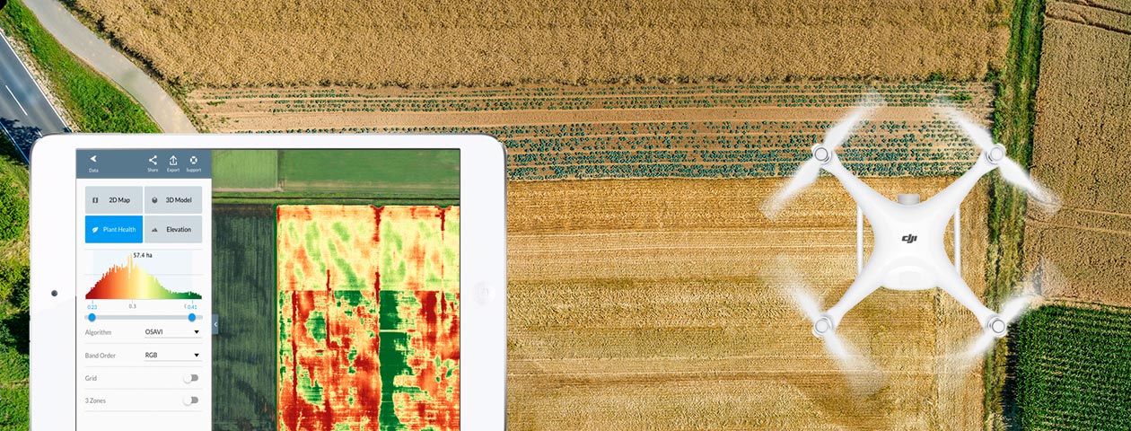
 PIX4Dfields | Yearly rental license
 Sammeln Sie Bilder mit einer Drohne und einer beliebigen Standard-RGB-Kamera oder einer ausgewählten Multispektralkamera wie Parrot Sequoia + und MicaSense RedEdge. Sie können auch eine ausgewählte Wärmebildkamera wie FLIR Vue Pro und...
Content 1 piece
€1,368.50 *
 Drones Advice | Process Workshop | Solution Day
 Rely on the extensive experience of our specialists. We advise your company on the realization of drone projects and others. in the fields of logistics, surveying and inspection, craft and construction, public safety, agriculture and...
€1,190.00 *
 3-Tages Workshop - Seminar und Training | DJI...
 3-Tages Workshop - Seminar und Training für DJI Matrice 300 für max. 6 Personen mit 2 Flugtrainern und 2 Trainingscopter Artikelpreis: entspricht pro Person Zielgruppe: Professionelle Piloten von Drohnen (UAV) Teilnehmerzahl: max. 6...
Content 1 piece
€999.00 *
 Offer only valid for Germany!
 Zielgruppe: Professionelle Piloten von Drohnen (UAV) Teilnehmerzahl: Individualtraining | Einzeltraining (Hessigheim) Lernziel: Vermittlung der Flugpraxis für DJI Matrice Serie Dauer: ca. 4 Stunden | droneparts.de Trainer Voraussetzung:...
Content 1 piece
€499.00 *
Flugtraining DJI Mavic Serie | Flugtraining... Zielgruppe: Professionelle Piloten von Drohnen (UAV) Teilnehmerzahl: Individualtraining | Einzeltraining (Hessigheim) Lernziel: Vermittlung der Flugpraxis für DJI Mavic Serie. Dauer: ca. 3 Stunden | droneparts.de Trainer Voraussetzung:...
Content 1 piece
€299.00 *
 Drohnen Führerschein (EU Fernpiloten-Zeugnis...
 EU-Fernpiloten-Zeugnis A2 jetzt " Online " machen – nach EU-Drohnenverordnung! Nach Erwerb des Artikels bekommst Du eine E-Mail mit dem Gutschein-Code gesendet! Bitte beachten: da es sich hierbei um einen Online-Zugangscode...
Content 1 piece
€299.00 *
PIX4Dfields | Monthly rental license Sammeln Sie Bilder mit einer Drohne und einer beliebigen Standard-RGB-Kamera oder einer ausgewählten Multispektralkamera wie Parrot Sequoia + und MicaSense RedEdge. Sie können auch eine ausgewählte Wärmebildkamera wie FLIR Vue Pro und...
Content 1 piece
€273.70 *
Viewed